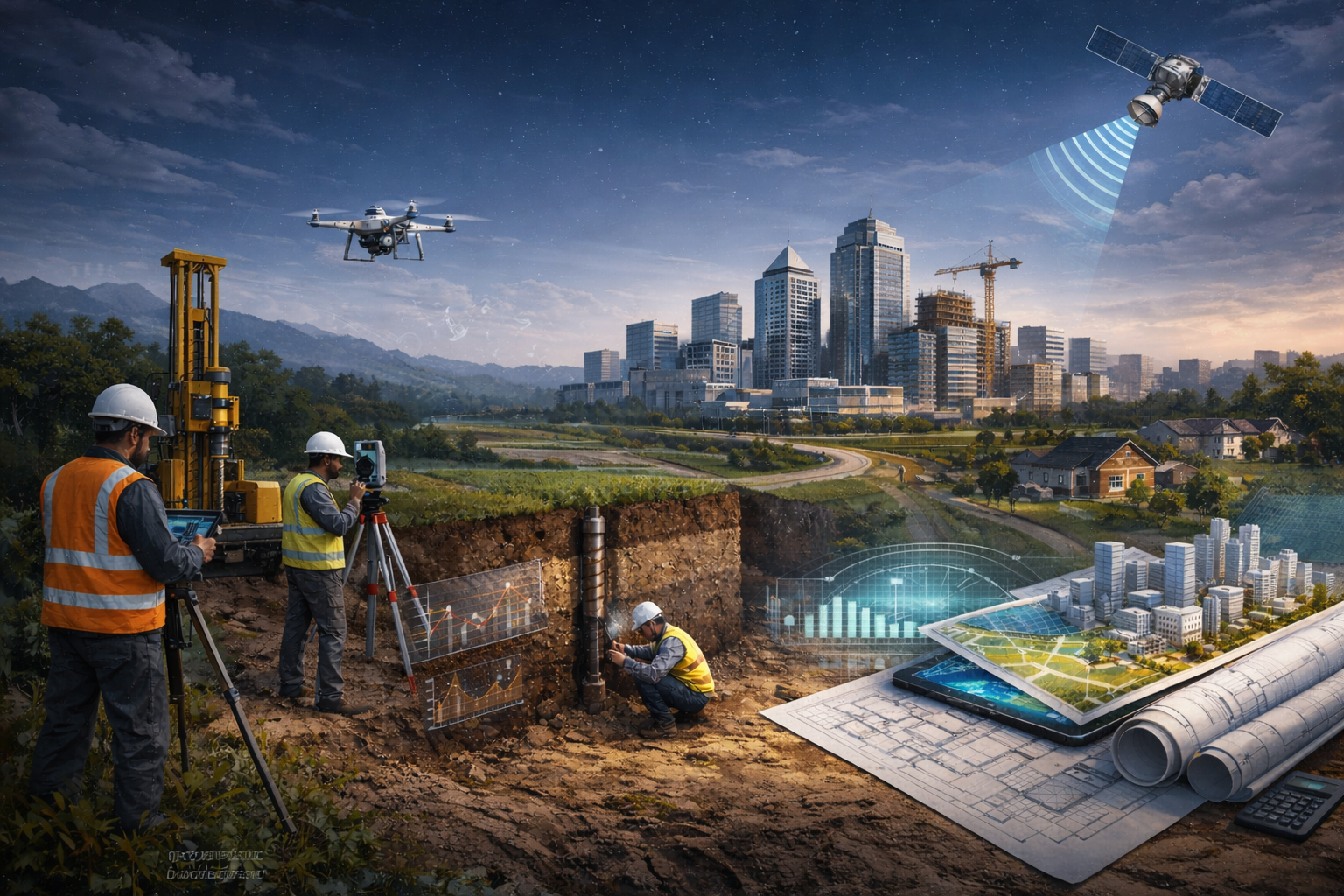
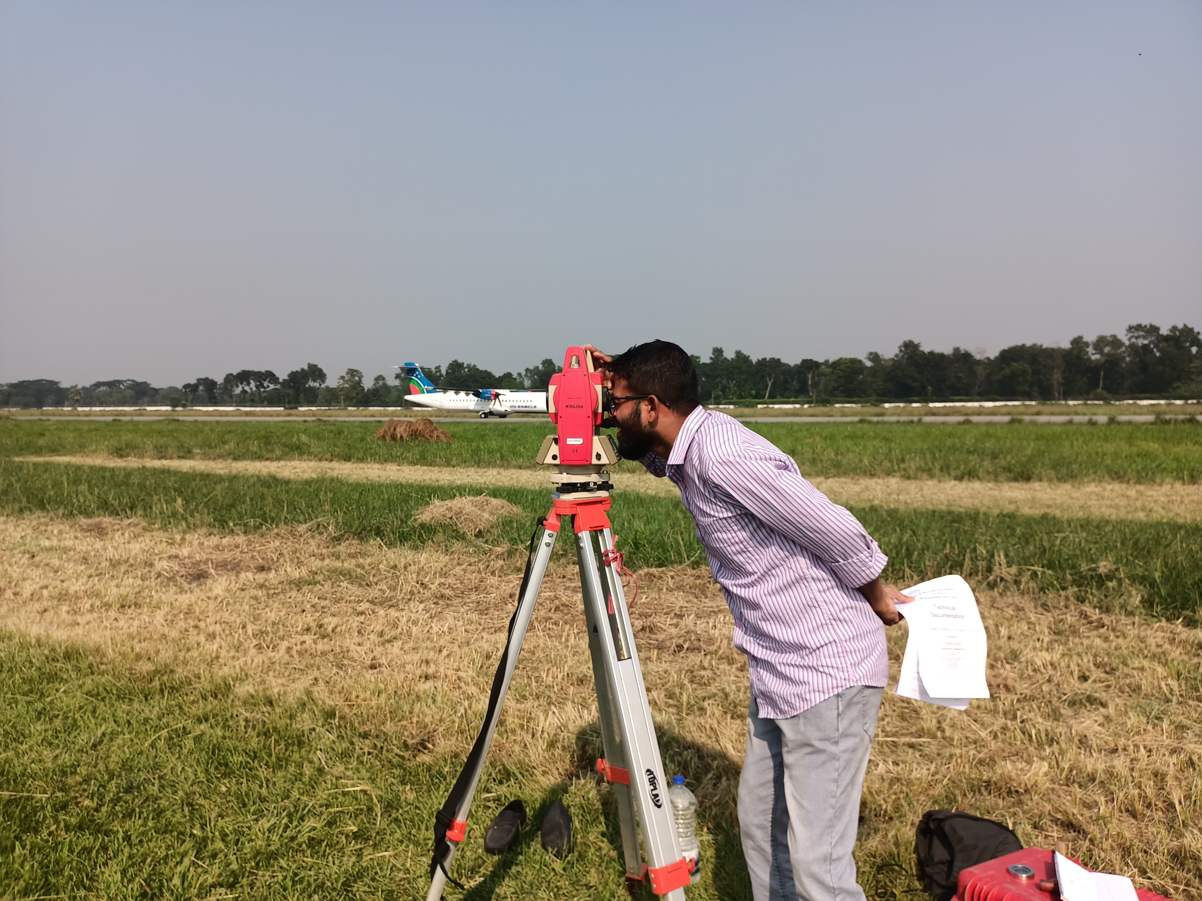
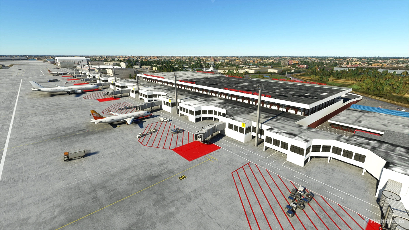
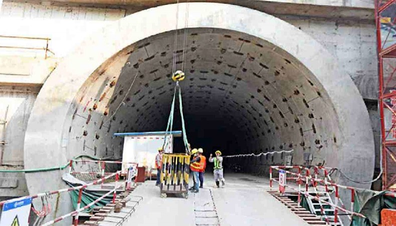
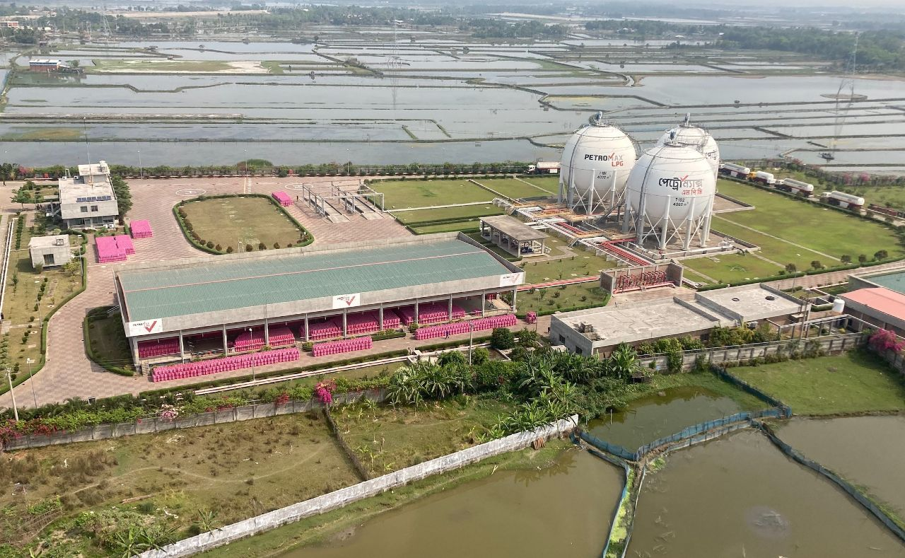
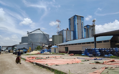
Geotech Background Geotech Background
Smart solutions, Simple execution.

Reliable engineering firm for sub-soil investigation and spatial surveys.

Our Services

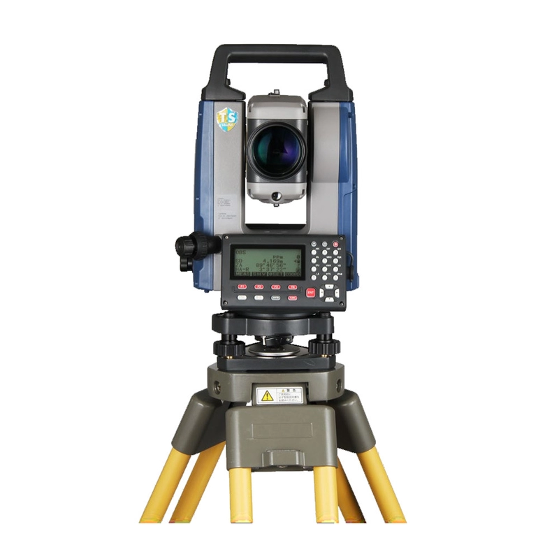
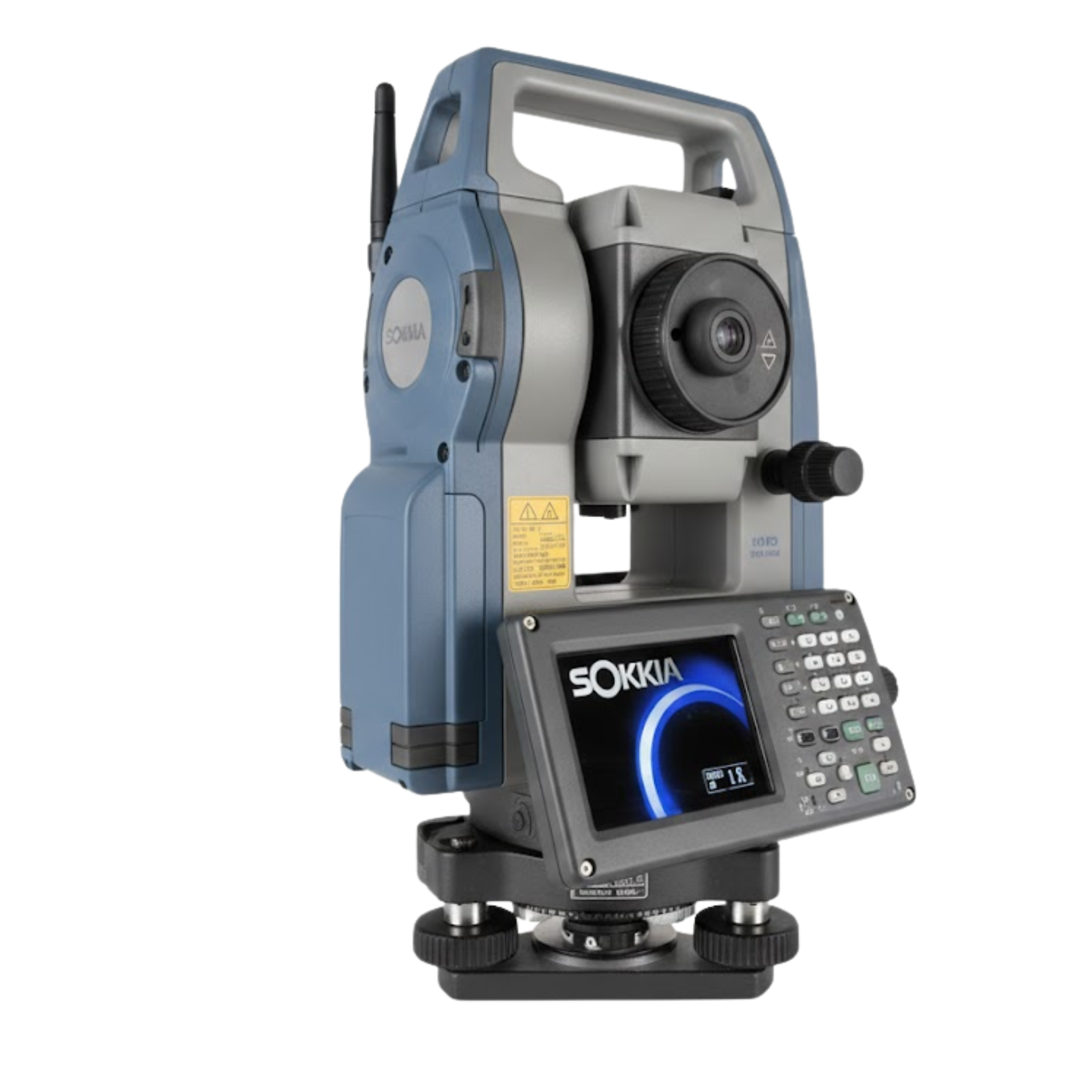
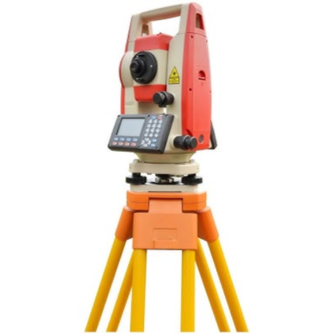
Core geotechnical, digital survey, and geospatial capabilities.

Topographic Survey

Topographic Survey

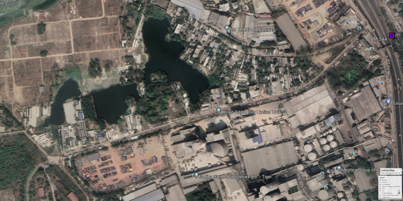
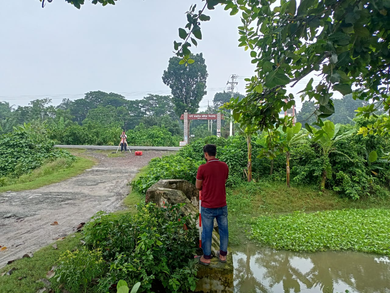
Land & contour surveys

Soil Testing

Soil Testing

Complete soil analysis

GIS & Mapping

GIS & Mapping

Geospatial data solutions

Equipment & Technology

Equipment & Technology

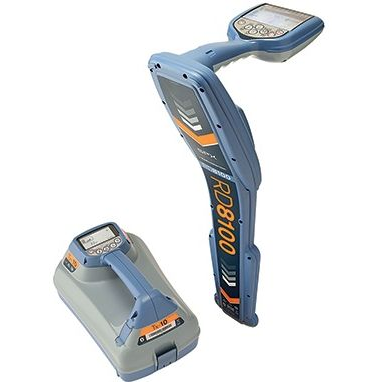
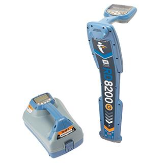
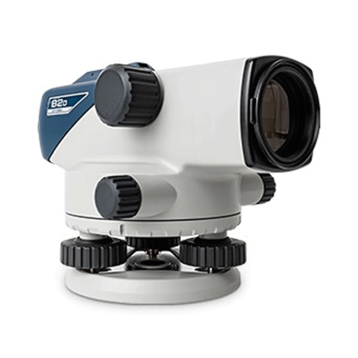
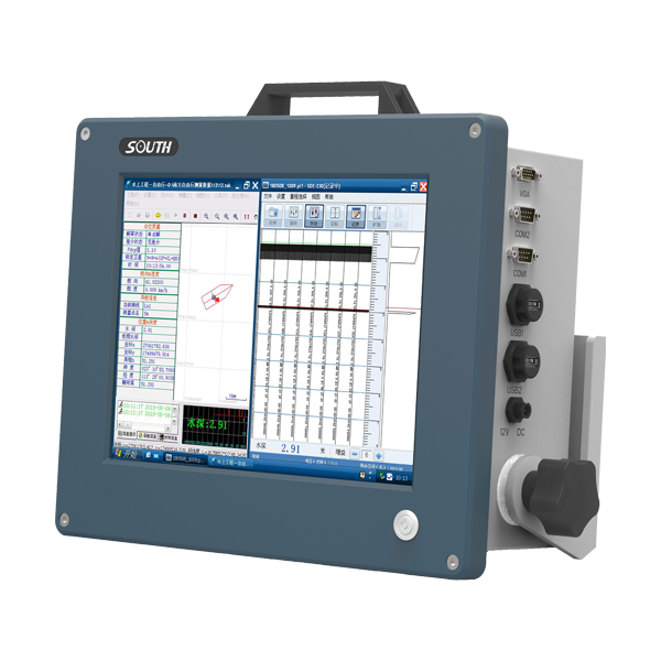
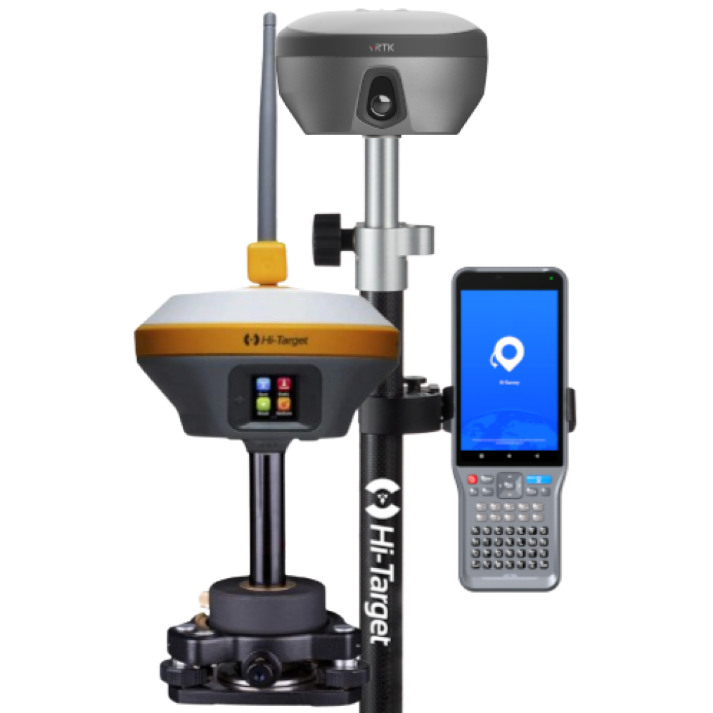
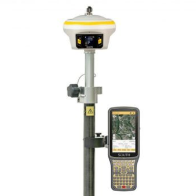
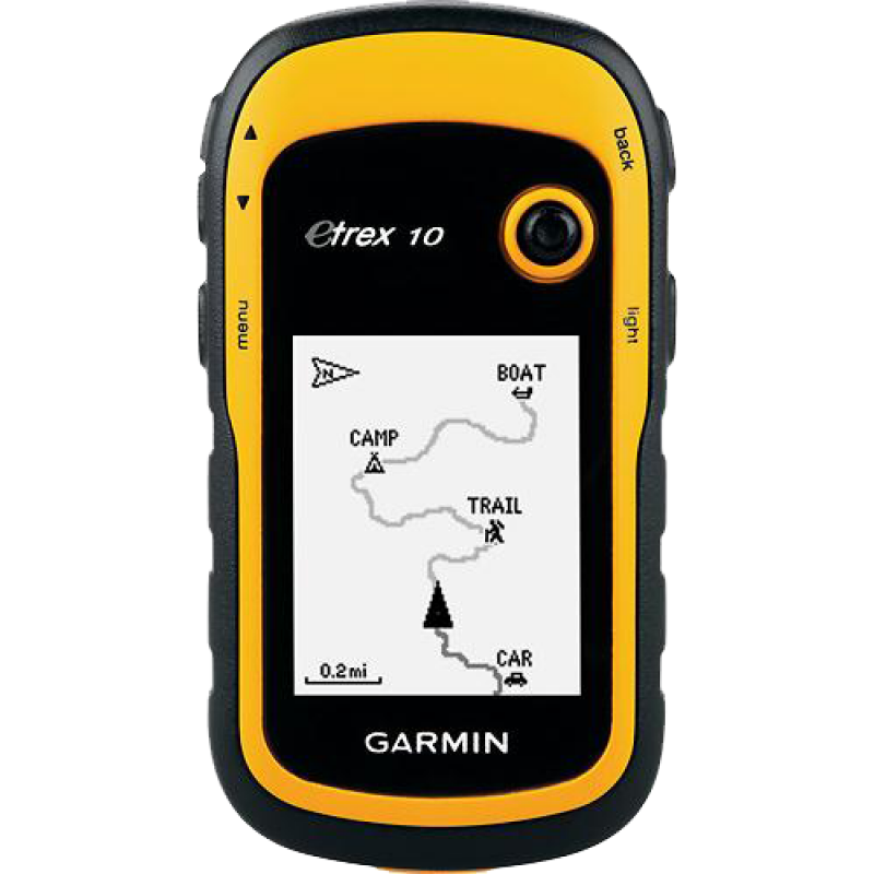
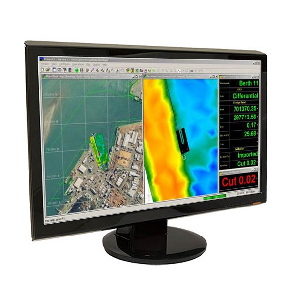
Advanced survey tools

Why GeoTech

100+
Professionals & consultants
64
Districts covered
23+
Years of experience
300+
Projects completed

Equipments and Softwares

SOKKIA IM-52
SOKKIA IM-52
Total Station
01 Nos
SOKKIA IM-101
SOKKIA IM-101
Total Station
01 Nos
Kolida KTS-442 UT
Kolida KTS-442 UT
Total Station
06 Nos
RD 8100
RD 8100
Pipe Locator
01 Nos
RD 8200
RD 8200
Pipe Locator
01 Nos
DJI Mavic-2 Pro
DJI Mavic-2 Pro
UAV
01 Nos
DJI Mavic-2
DJI Mavic-2
UAV
01 Nos
SOKKIA B-20
SOKKIA B-20
Leveling Instrument
03 Nos
South SDE 28 S+
South SDE 28 S+
Bathymetry
02 Nos
HI Target IRTK-5
HI Target IRTK-5
RTK
02 Nos
South INNO-7
South INNO-7
RTK
01 Nos
Garmin eTrex 10
Garmin eTrex 10
Hand GPS
04 Nos
Eagle Point 2018
Eagle Point 2018
Software
Micro Survey CAD 2017
Software
Hydro Pro
Hydro Pro
Software
ArcGIS 10.2
ArcGIS 10.2
Software
EVCS
EVCS
Software
Surfer 12.1
Surfer 12.1
Software
SW DTM
SW DTM
Software
AutoCAD Civil 3D
AutoCAD Civil 3D
Software

Featured Projects

Topographic Survey
Title
Access Road Dhaka - Chottogram High - Way To Meghnaghat Power Limited. Mouza: Char Ramjan Sunaullah, Sonargaon, Narayanganj.
Client
government
Bangladesh Power Development Board
Topographic Survey
Title
RE-EXCAVATION, RENOVATION AND DEVELOPMENT OF KHALS FOR MITIGATING WATER LOGGING PROBLEMS IN CHITTAGONG CITY.
Client
private
CDA, Bangladesh Army, CEGIS
Topographic Survey
Title
Jessore Air Force Aircraft Simulator
Client
government
Civil Aviation Authority of Bangladesh (CAAB)
Topographic Survey
Title
Hazrat Shahjalal International Airport Aircraft Simulator
Client
private
Civil Aviation Authority of Bangladesh(CAAB)
Topographic Survey
Title
The Bangabandhu Sheikh Mujibur Rahman Tunnel
Client
private
CCCC
Topographic Survey
Title
ORS Quarter For Bangladesh Army
Client
government
Bangladesh Army
Topographic Survey
Title
Saudi Bangla Pipeline From Benapole To Jessore.
Client
private
Saudi Bangla Pipeline Limited
Topographic Survey
Title
Digital Topographical Survey, Contour Map And Plant Superimpose With Mouza Map At Mongla, Rupganj and Tangail.
Client
private
Petromax LPG Limited.
Topographic Survey
Title
Kazi Feeds Ltd, Kazi Barishal Hatchery Ltd. (Unit-3), Baliadangi Kazi Poultry Ltd etc
Client
private
Kazi Farm Group
View More

Trusted by Leading Clients

WASA
WASA
LGED
LGED
PWD
PWD
CAAB
CAAB
Roads & Highway
Roads & Highway

Welcome Notes from CEO

Welcome To GEOTECH.

We are so glad in your presence here!
I believe it is an opportunity to grow your business by expanding our hands to each other. Our commitment is to deliver our best service.

To know more about us please go through...
Our onging and previous Projects details.

Please Don't hesitate to know further more and contact with us.

Vision

Best Quality is our vision. We are committed to ensure the qualityful Digital survey and Sub-Soil Investigation work by consider International Standard.

Mission

We like to tackle each project with the conviction that it can and must be implemented better than it has been done or expected before.

Contacts

mail
gtechbd2012@gmail.com
phone
01712-858383
01887-928595
Get in touch
mail Your email
phone Phone number
01xxxxxxxx
user Your name
message
location
Dhaka
Chattagram
Head office
R # 11, H # 13(2nd Floor), South Baridhara, Merul Badda, Dhaka
Branch office
Halishahar, Chattagram
GEOTECH
Survey
Experts